
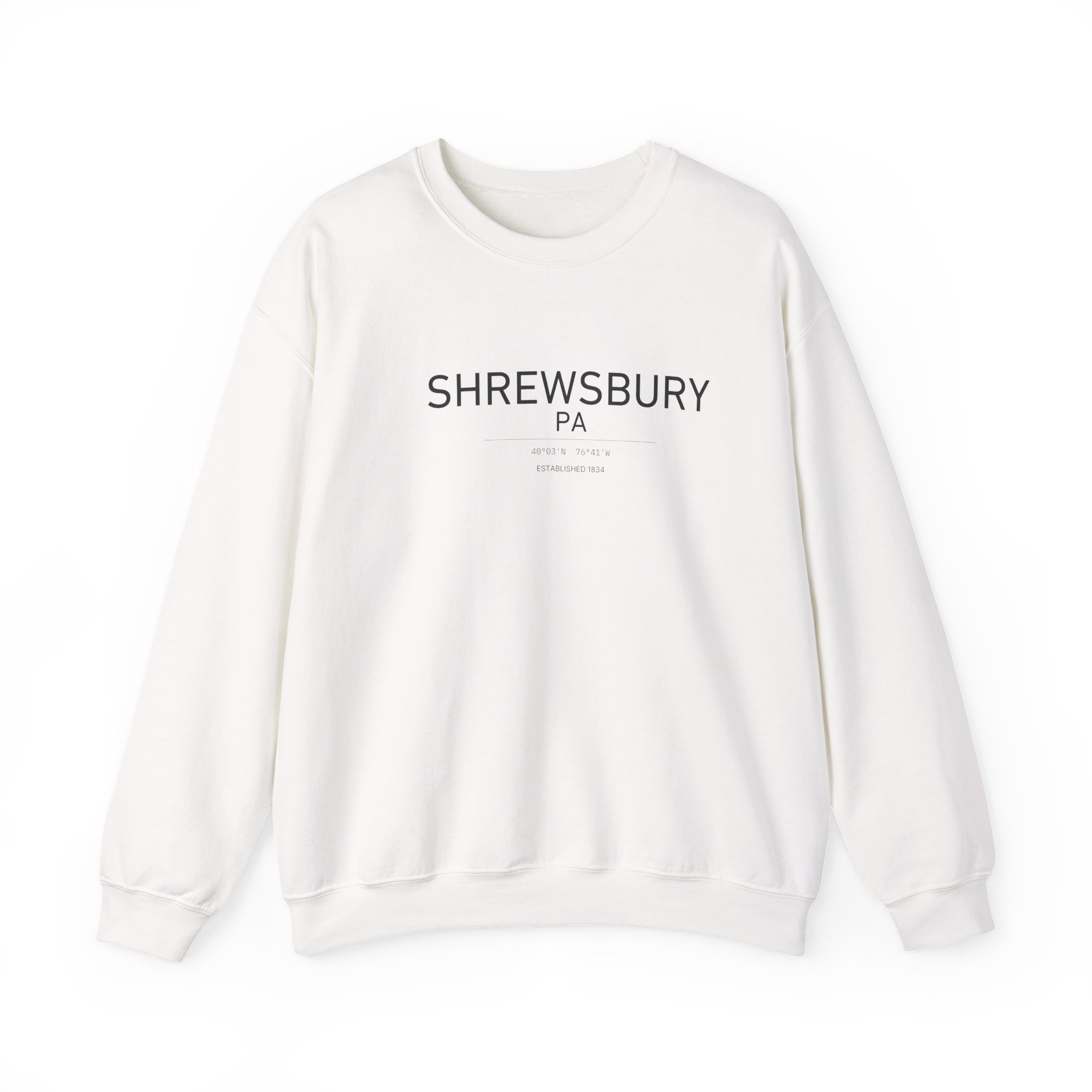
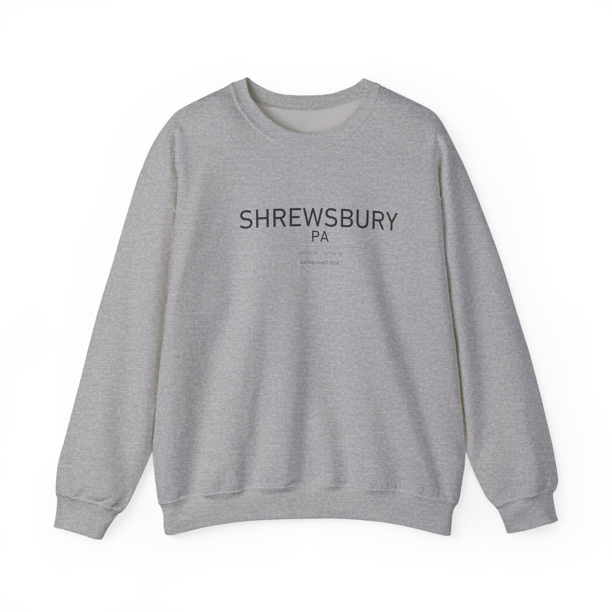
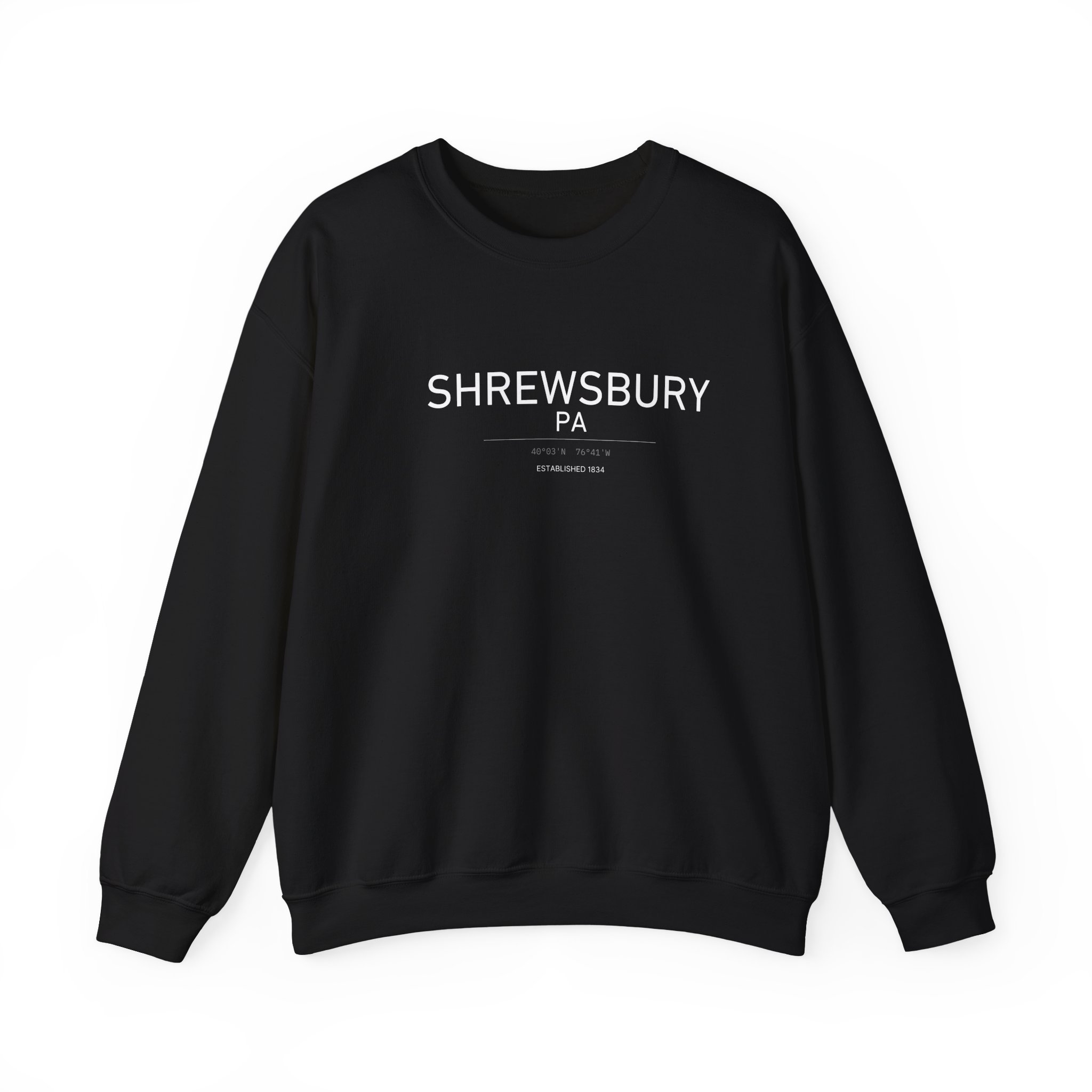
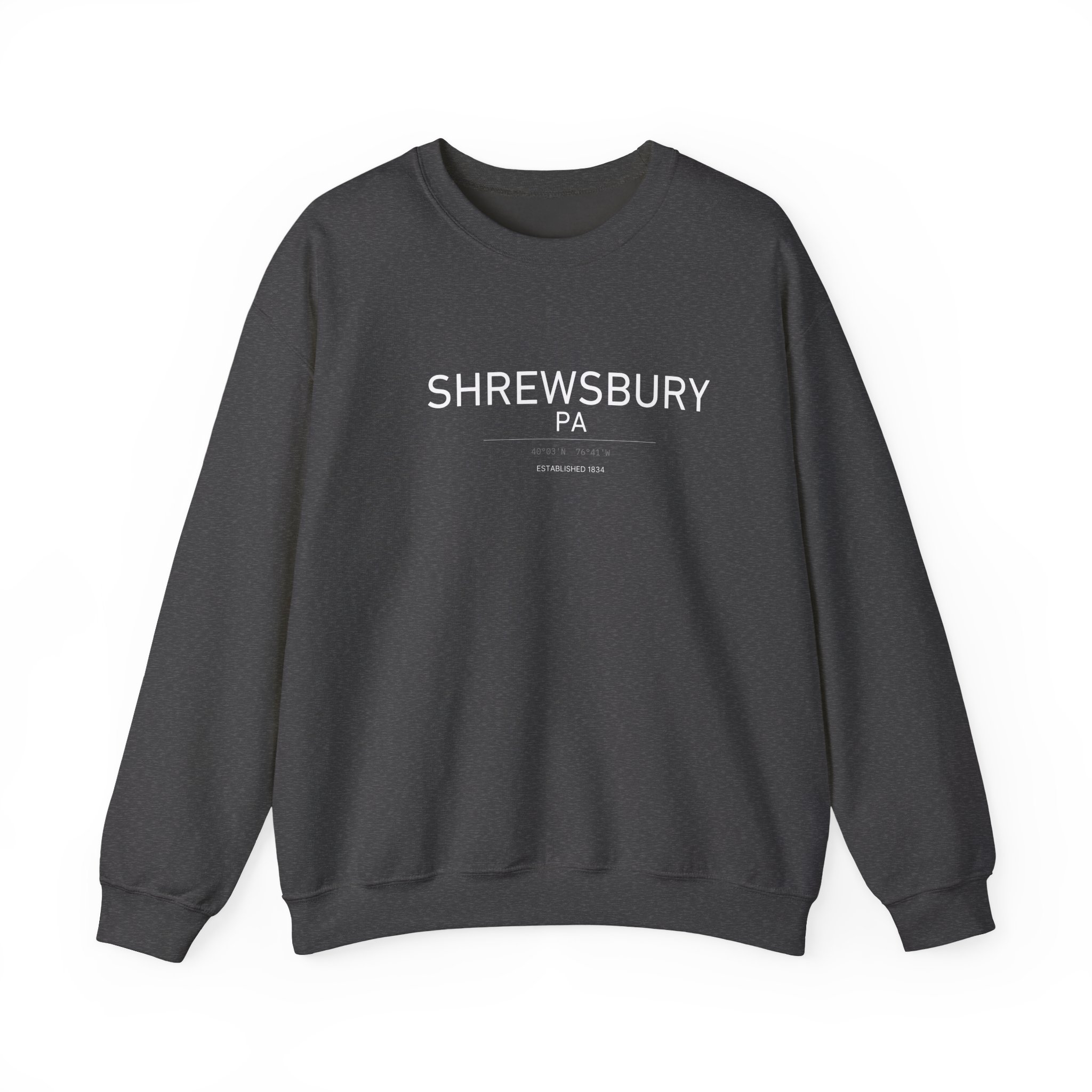
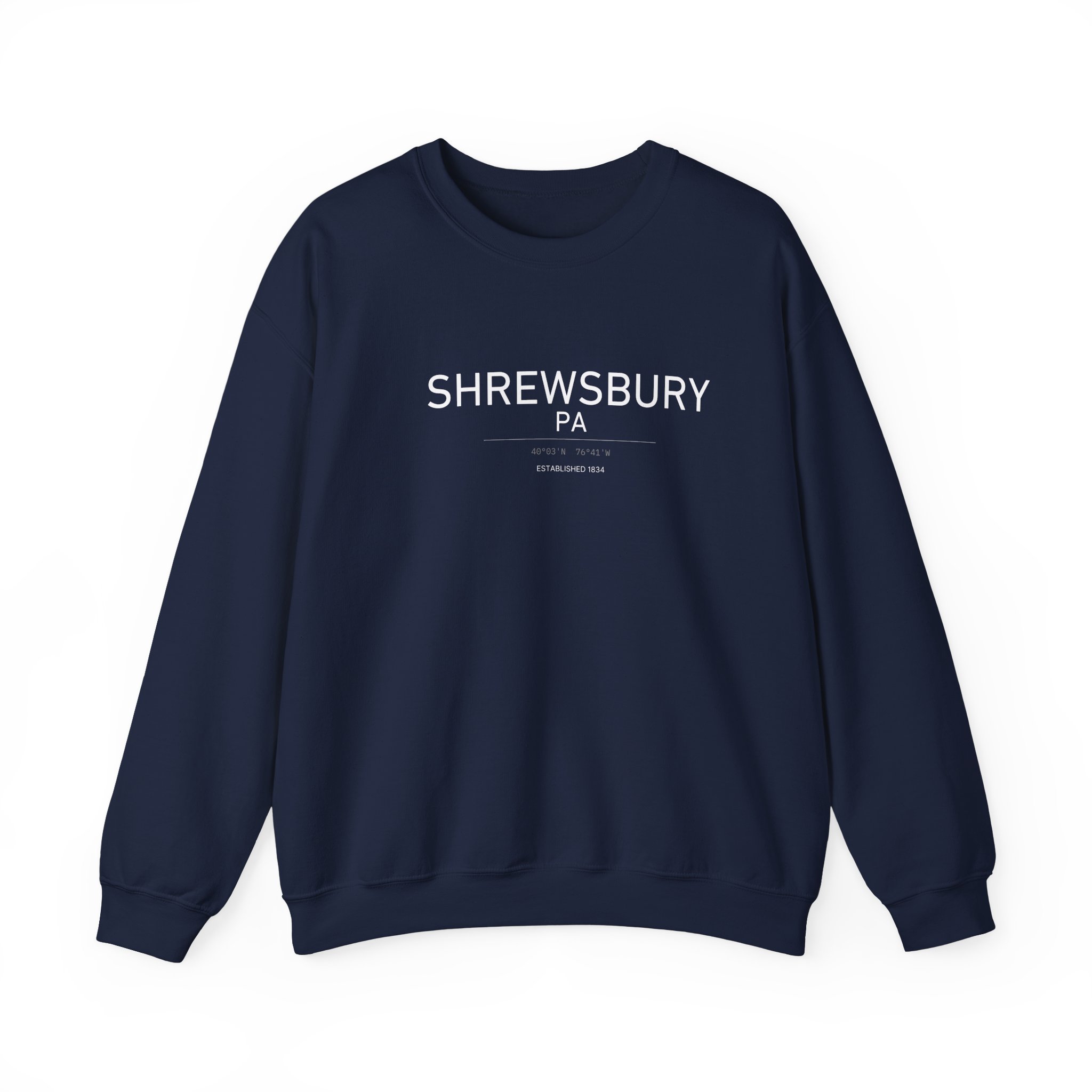
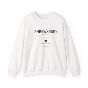
Latitude and longitude for Shrewsbury, Pennsylvania on a Gildan 18000 heavy blend crewneck — dark ink on White and Sport Grey, white on Dark Heather, Black and Navy.
Four Miles Above the Line
Shrewsbury sits at roughly 39.7671° N, 76.6790° W, and that latitude is the reason the town looks the way it does.
The Mason–Dixon Line — the boundary Charles Mason and Jeremiah Dixon surveyed between Pennsylvania and Maryland in the 1760s — runs about four miles south of town. That proximity shaped two centuries of traffic: the road through Shrewsbury was the York–Baltimore Turnpike, carrying goods between two states long before the interstate existed. Today the same pull sends commuters south toward Baltimore as readily as north toward York, a mile west of I-83 Exit 4.
The borough was chartered August 9, 1834 and covers about 1.8 square miles in southern York County.
The Sweatshirt
Gildan 18000 Heavy Blend: 50% cotton, 50% polyester, 8.0 oz, air-jet spun yarn. Double-needle stitching, 1×1 athletic rib with spandex at collar, cuffs and waistband, tear-away label.
White, Sport Grey, Dark Heather, Black and Navy, sizes S–5XL. Printed to order in the United States.
Sources: Shrewsbury Borough – History; Shrewsbury, Pennsylvania.
Reviews
There are no reviews yet.