
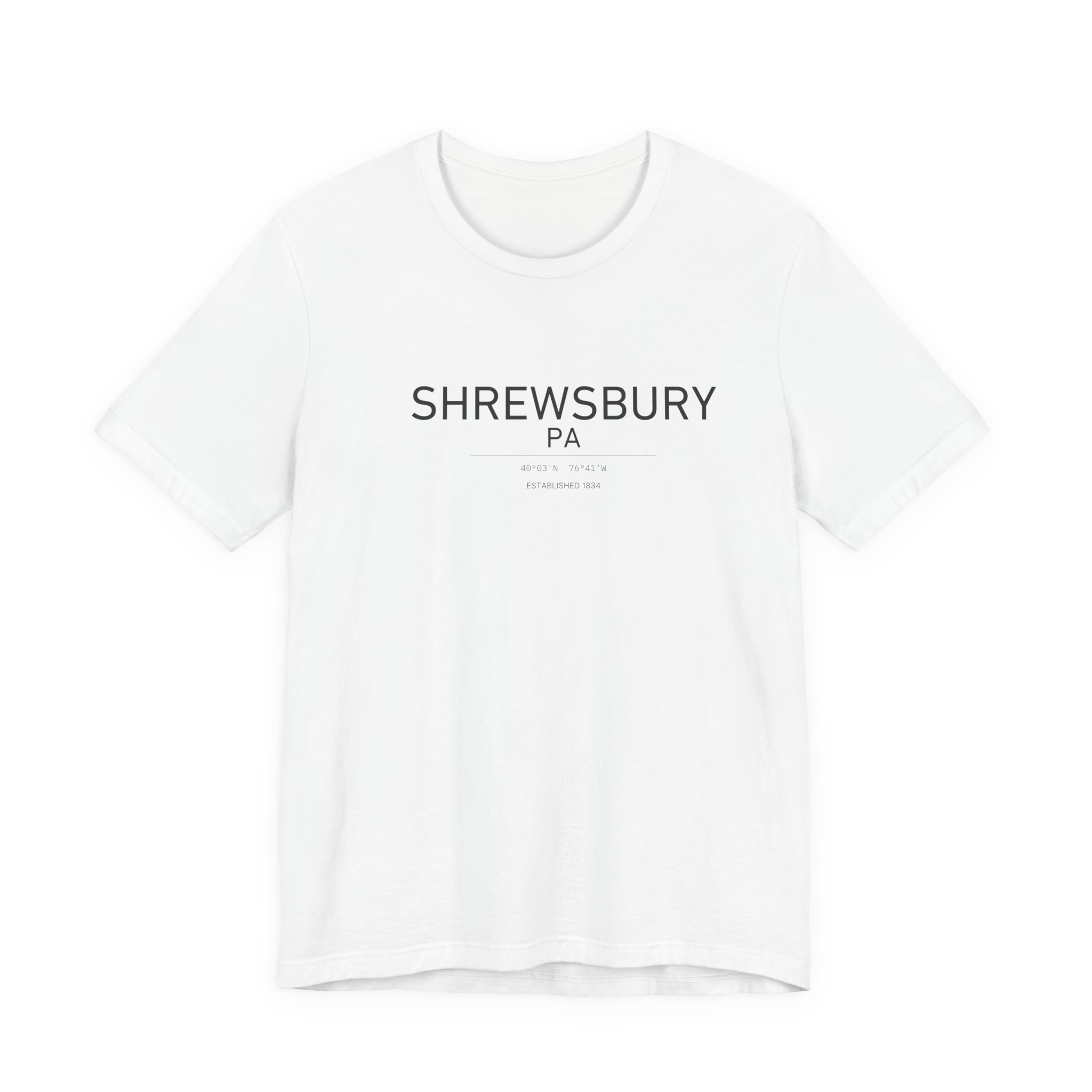
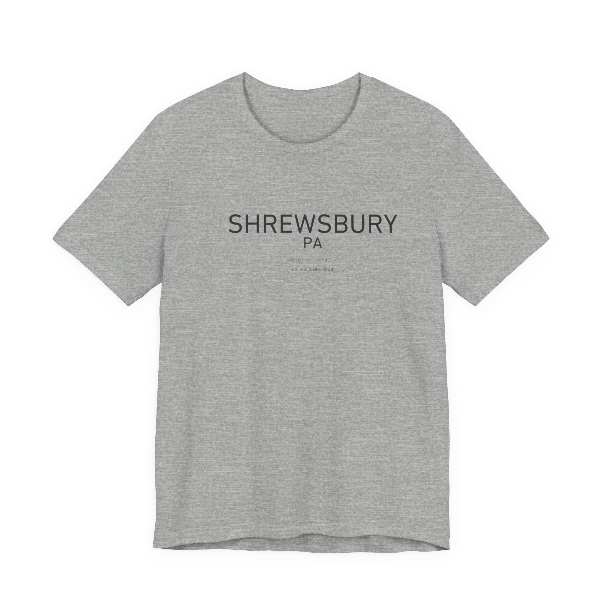
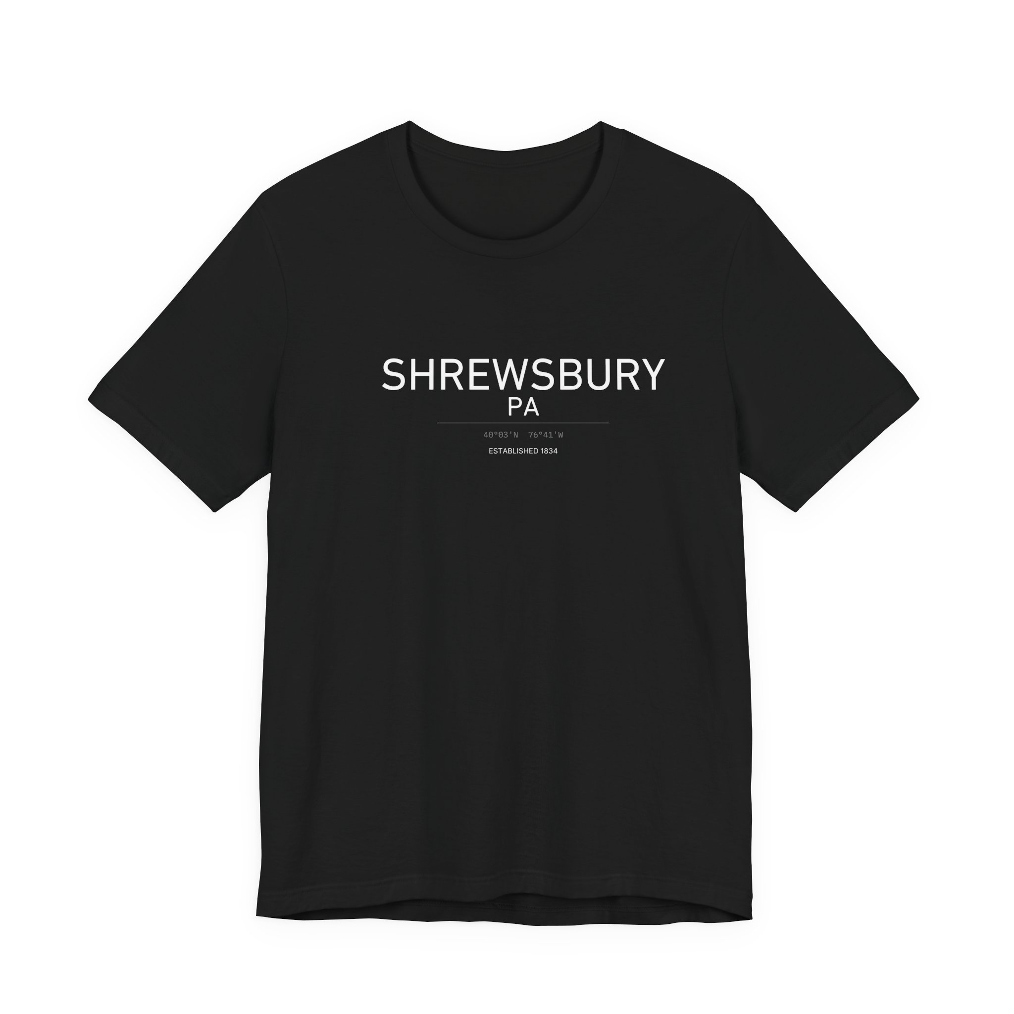
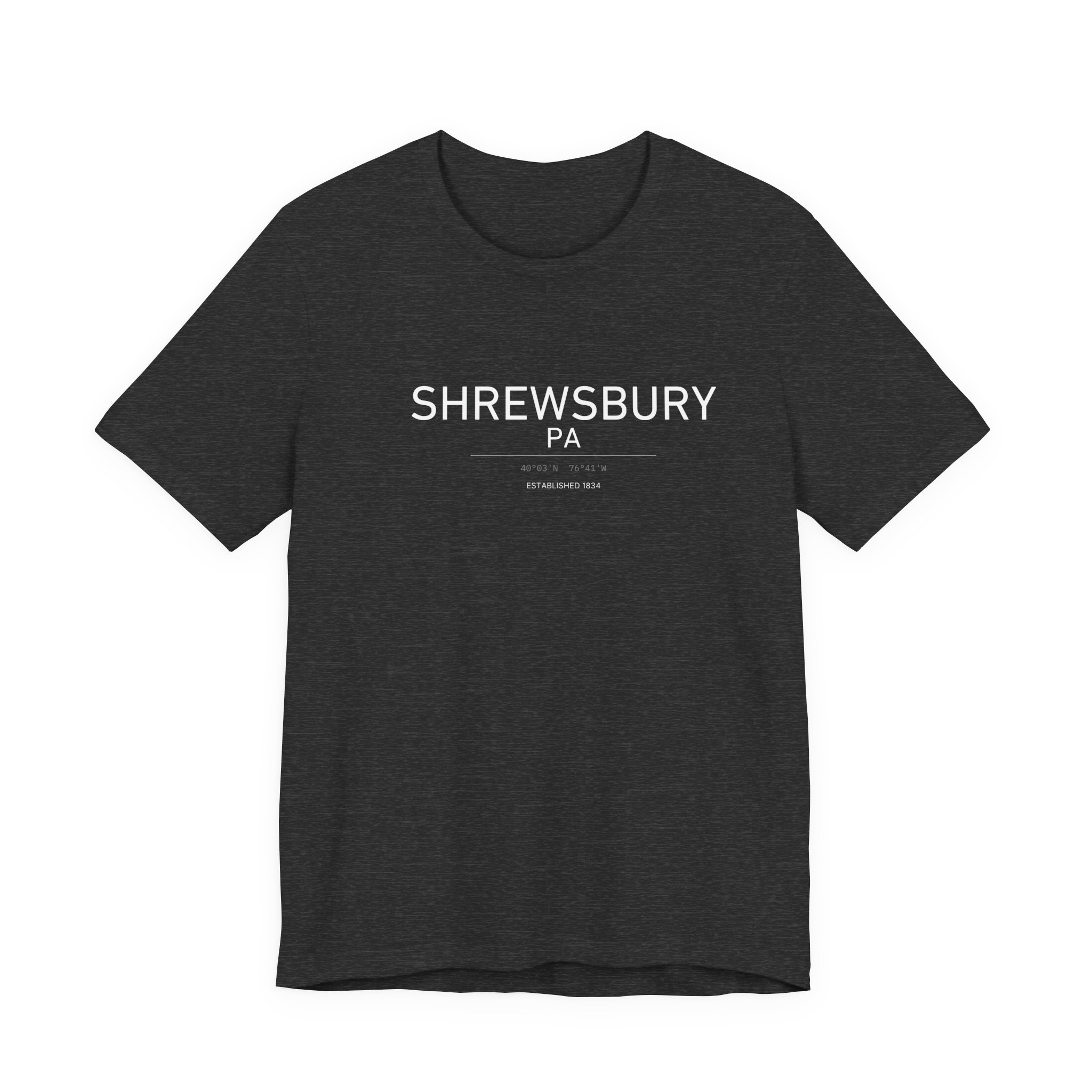
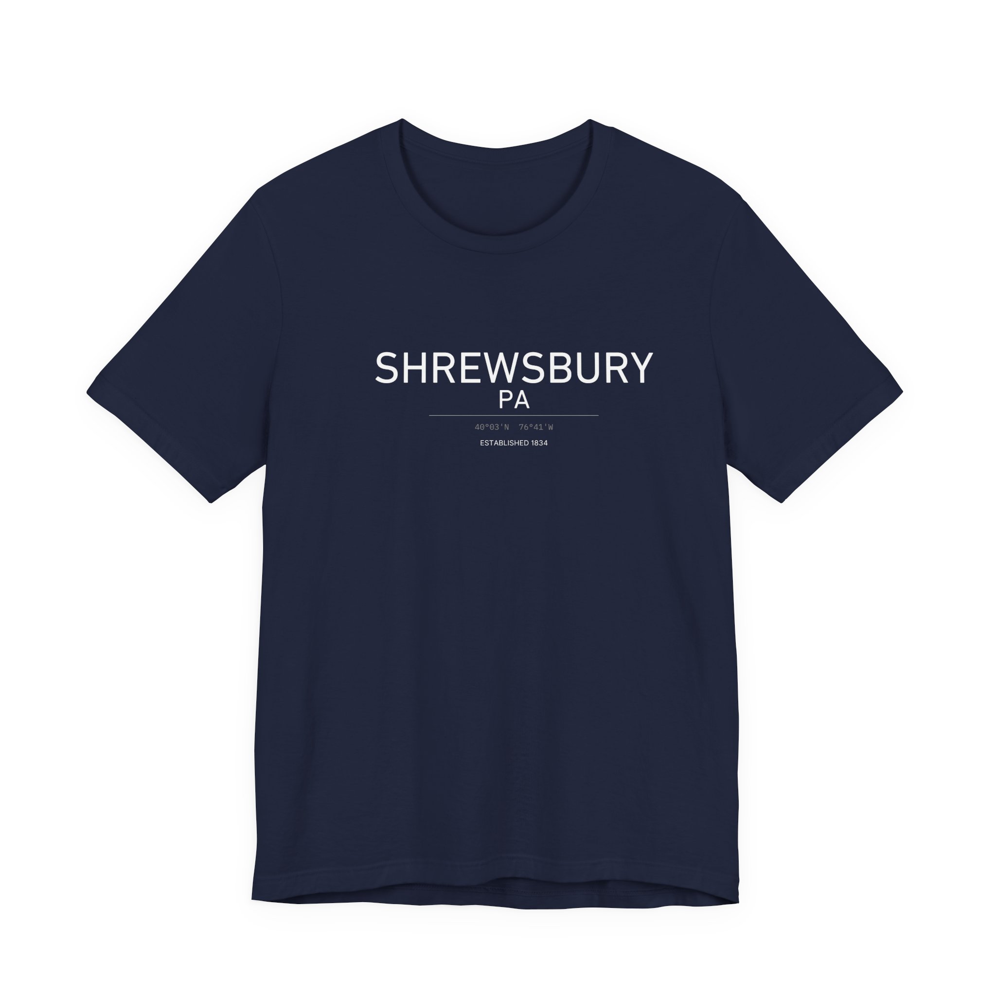
Latitude, longitude and a single line for Shrewsbury, Pennsylvania — 39.7671° N, 76.6790° W. Printed on a Bella+Canvas 3001 unisex tee, dark ink on the light colours and white on Black, Dark Grey Heather and Navy.
Four Miles Above the Mason–Dixon Line
Of all the numbers you could put on a Shrewsbury shirt, the coordinates are the ones that explain the town best. Shrewsbury sits at roughly 39.7671° N, 76.6790° W — and that latitude is the whole story.
The Line Runs Just Below Town
The Mason–Dixon Line — the boundary Charles Mason and Jeremiah Dixon surveyed between Pennsylvania and Maryland in the 1760s — runs about four miles south of town. Drive south on I-83 for five minutes from Exit 4 and you are in Maryland.
A Border Town by Habit
That proximity has shaped the place for two centuries. The road through town was the York–Baltimore Turnpike, carrying traffic between two states long before the interstate. Today that same pull sends Shrewsbury commuters south toward Baltimore as often as north toward York.
One Mile Long, Half a Mile Wide
When the Borough of Shrewsbury was incorporated on August 9, 1834, the area delineated was about one mile long and half a mile wide, stretching lengthwise along the turnpike with the centre at the crossroads. The borough covers roughly 1.8 square miles today, in southern York County, ZIP 17361.
The Tee
Bella+Canvas 3001: 100% Airlume combed and ring-spun cotton, side-seamed, retail fit, ribbed knit collar and tapered shoulders. White, Athletic Heather, Dark Grey Heather, Black and Navy, sizes S–5XL. Printed to order in the United States. Sources: Shrewsbury Borough – History; Shrewsbury, Pennsylvania.

Reviews
There are no reviews yet.